
Auperin Conservation Area
- Conservation Area closed from Sunset to Sunrise.
- Motorized Vehicles are Prohibited.
- Trail Map - Trail reached via Weigold parking area
- Management Plan - Revised April 28, 2016
- GPS Coordinates: 41.83776,-72.36124
The Auperin Conservation Area is a 28.1 acre parcel of land on the westerly side of Weigold Road in the south central part of Tolland near the Coventry town line. It is directly north and adjacent to the Weigold Conservation Area. Purchased in November 2008 from the Lincoln Auperin family, with a combination of Town funds and a grant from the State of Connecticut Open Space and Watershed Land Acquisition program administered by the Connecticut Department of Environmental Protection, it is a mixed woodland and wetland area.
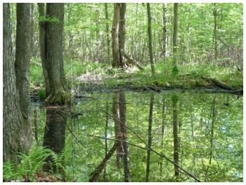
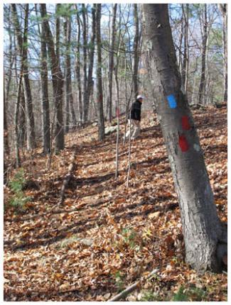
The forest ranges from thick underbrush to open park-like areas with light forest cover. Although logged in recent years, the property contains regenerating stands of white pine and mixed hardwood. The property contains a vernal pool, a breeding area for frogs and salamanders, and a small brook. It is located in the Skungamaug River watershed, an important component of the Willimantic River system. Combined with the Weigold Conservation area and Joshua’s Trust Tobiasson Property, there are over 150 acres of open space to protect wildlife habitat, aquifers, and watersheds.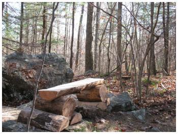
More pictures are on our Auperin Facebook page.