
Baxter Street Conservation Area
- Conservation Area closed from Sunset to Sunrise.
- Motorized Vehicles are Prohibited.
- Management Plan - Approved February 10, 2015
- GPS Coordinates: 41.839881,-72.335318
In May of 2002, the Town acquired the 41.98 acre parcel. Besides the Baxter Street Conservation Area, the parcel contains the Valley View Cemetery and a Public Works area. The conservation area is the 25 acres at the northern part of the parcel. The 2.5 acres of wetlands that surround the brook do not have trails and will be left in its natural state.
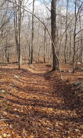
There is an old woods road, which is the trail, that runs across the property in an east/west direction. The trail ends shortly after crossing a brook at an old stone wall. Please do not continue onto the neighboring private property.
The elevation ranges from a high of 720 feet on the western side down to 660 feet on the eastern side. It is a very gradual descent. There are wetlands on the eastern side of the property. The brook flows easterly and joins Clark Brook which runs southerly along Route 195 and then joins the Willimantic River.
A wide variety of wildlife can be found on the property. Deer and fox have been spotted along with the usual mix of smaller animals such as squirrels and chipmunks. Birds are plentiful, including forest songbirds, hawks, and owls. Sightings of wildlife will vary with the seasons and weather conditions. Best wildlife viewing is generally at dawn and dusk.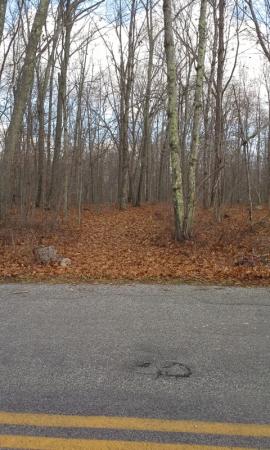
More pictures are on our Baxter Street Facebook page.