
Parciak Conservation Area
- Conservation Area closed from Sunset to Sunrise.
- Motorized Vehicles are Prohibited.
- Trail Map
- Management Plan - Revised April 23, 2020
- GPS Coordinates: 41.88740,-72.38012
- Boundary GPS Data
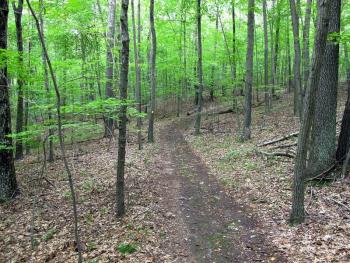
The John & Mary Parciak Conservation Area consists of 60 acres of undeveloped woodland. The property was purchased in the fall of 2002 with Town open space bond funds. One access to the property is on Burbank Road where an existing logging trail extends up the ridge. Another access to the property is on Bald Hill Road where a small trail enters the site south of the tower.
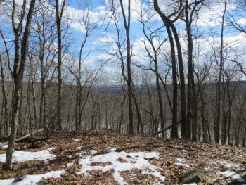
The highest point in Tolland, Bald Hill, is on this property at an elevation of 1,011 feet above sea level. The land is level in the northern section but then sharply drops 100 feet in elevation. There is an excellent view to the south from the ridge top, especially in winter. A bench is located there so that hikers may sit and enjoy the view.
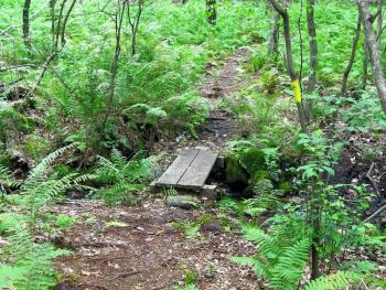
In the southern part of the property, two branches of a brook join together to form Paulk Hill Brook. This brook flows through Crandall’s Park, then joins Clough Brook to flow through the Tolland Marsh to the Skungamaug River. Most of the property line area on Burbank Road is a wetland.
White birch and mountain laurel are found at the higher elevations, while white and black oak, hickory, and maple abound throughout the property. The lower half of the parcel has extensive coverage of princess pine. Low brush and maples surround the wetland areas at the lower elevations.
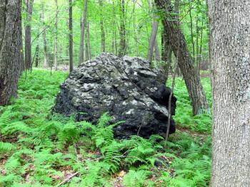
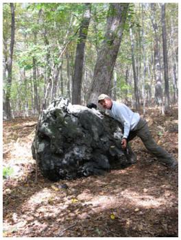
Several large white quartz boulders are prominent landscape features, with an exceptionally large quartz rock at the end of a spur trail of the blue ridge trail. A “Meteor Rock” can be found along the yellow loop trail in the southeast section. The property has significant natural habitats where deer, fox, and turkeys have been observed.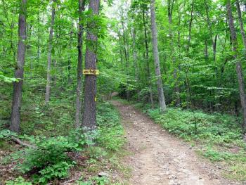
More pictures are on our Parciak Facebook page.